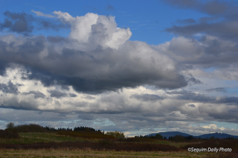
I took this a year ago at the Dungeness Recreation Area.
Views of Sequim, the Olympic Peninsula. . .and beyond
I took this a year ago at the Dungeness Recreation Area.
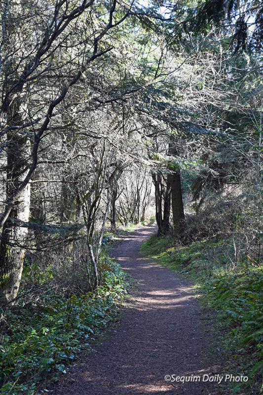
There are so many things one can do in a time of self quarantine. Cancellations have cracked open freshly minted hours of free time. Yesterday’s competing tasks: tidy up my office or take a walk.
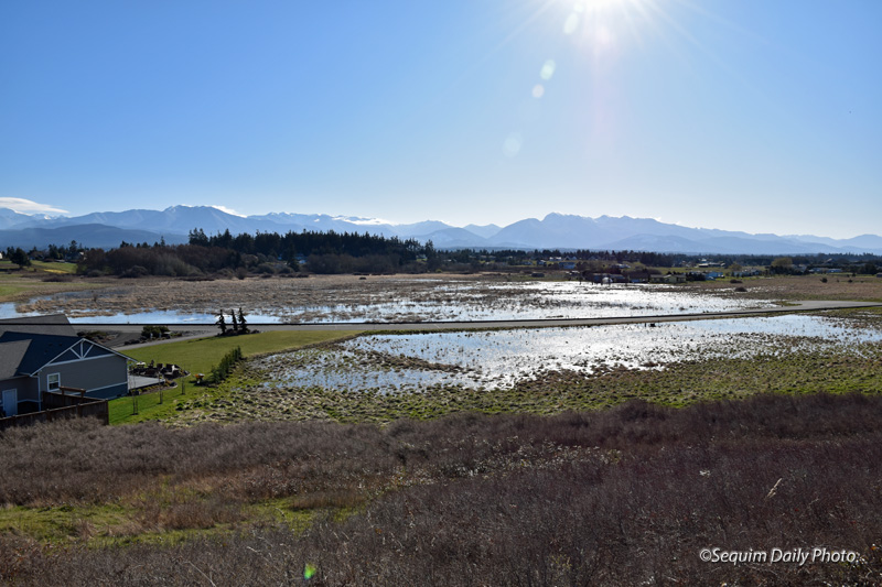
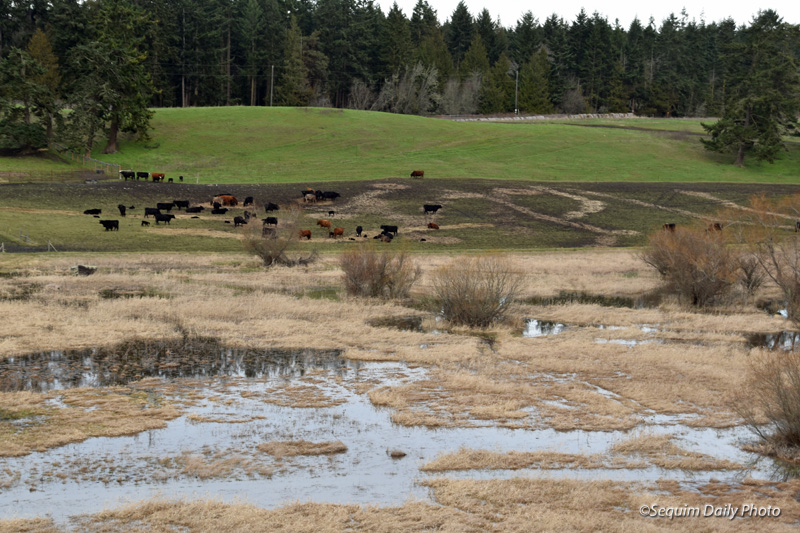
There’s a narrow road that goes up and over a ridge called Hogback. On its southern side it looks down into this broad, open expanse of land. At one time part of the area you see on the right had building lots for sale. But in a wet year like the one we’ve had the land floods. Eventually the water evaporates or the water table subsides enough to absorb it. So far this year there’s still plenty of flooding. The ducks are happy.
Click here to see a closer view from flooding in 2016. I believe the area is no longer permitted for building.
Happy St. Patrick’s Day for those of the Irish persuasion. Erin go bragh!
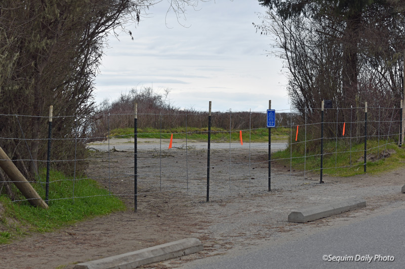
We’ve lost the second and last pullout area at the Dungeness Recreation Area, a pull through parking area where people could overlook the Strait of Juan de Fuca. I last showed this here, when a portion of its fence took flight over open air.
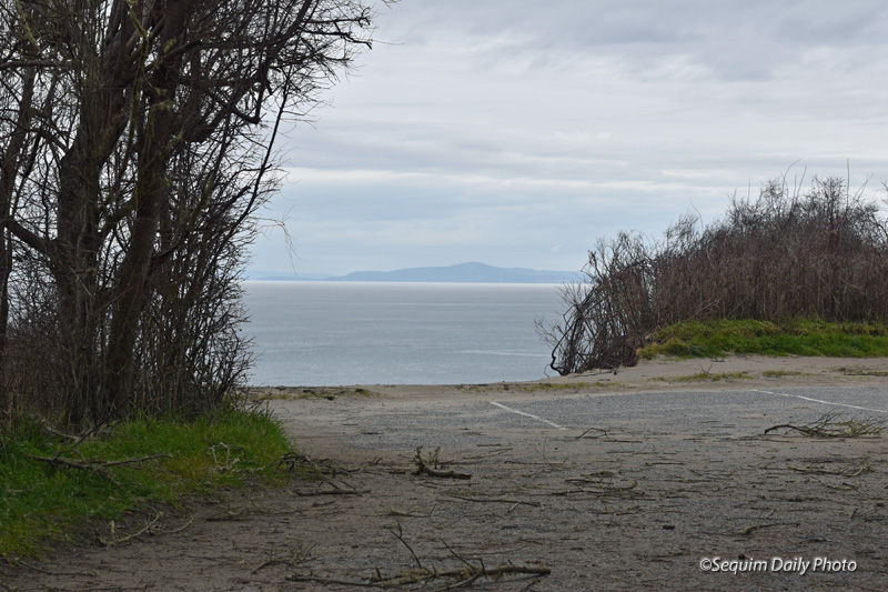
Vancouver Island, British Columbia is off in the distance. In the closer foreground is where visitors could drive up and park. A path and fence was just beyond the parking places. Mother Nature is taking that back.
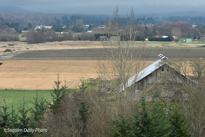
Bit by bit some of our farms and ranches are being sold and subdivided. So far this one seems to be hanging on to agriculture.
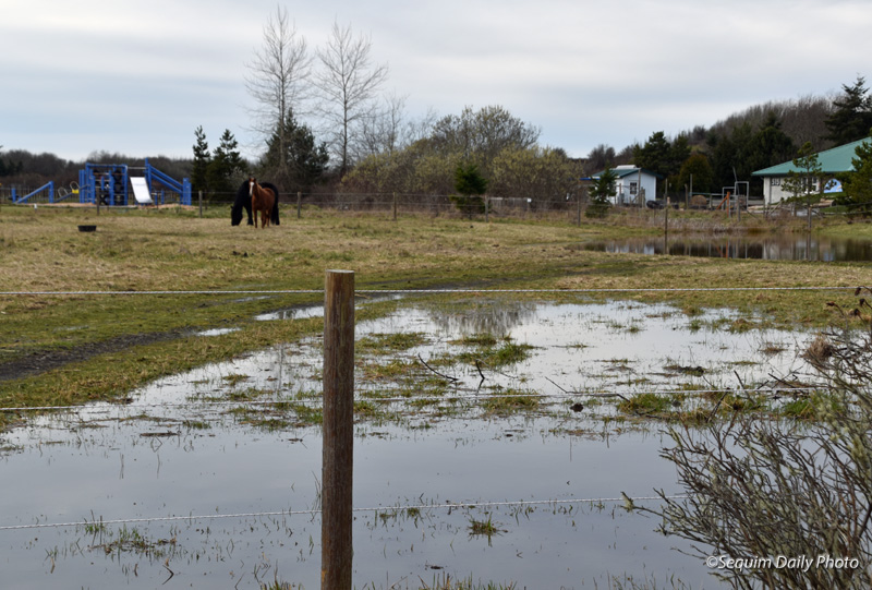
Last week was quite a week. We woke to snow on Monday. It mostly melted. It snowed again on Tuesday morning. Then it began to rain on Tuesday and someone forgot to turn off the faucet. It rained steadily through to Friday and the standing water above is one of the results. There were small lakes everywhere, including the usually dry pasture above.
We’ve had a lot of rain this year and you can see where water tables are high. Though rainfall tapered off by the weekend it’s taking time for water to seep back into the ground. Until then… welcome to lake country.
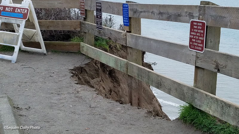
There have been two pullouts at the Dungeness Recreation Area where vehicles can either pull through or park with a view out onto the Strait of Juan de Fuca and, to the north, Vancouver Island, B.C. and Washington’s San Juan Islands. Chunk by chunk these pullouts have eroded as wind and weather have taken their toll on the compacted sandy soil. For the moment this is the only remaining area where people and vehicles can move close to the view.
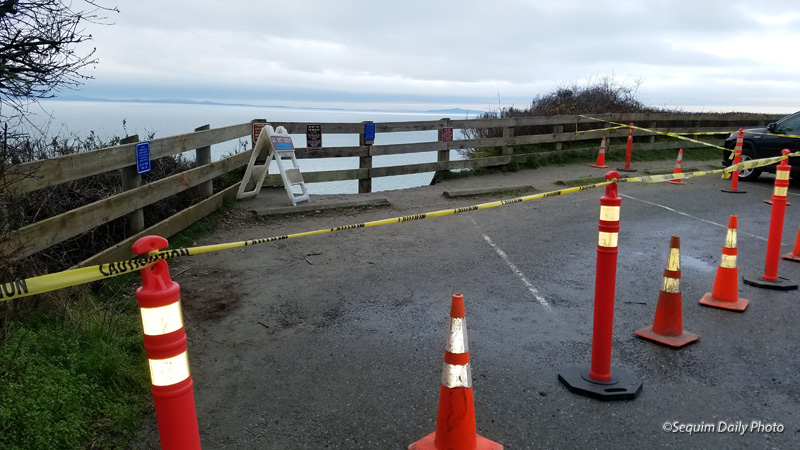
Three parking spaces are now out of service. I expect that soon, like the other former pullout area, this area will be barricaded by a fence.
When we moved to Sequim ten years ago we walked a path along this edge of the bluffs from the public campground at the north along nearly the full frontage of the park’s western boundary on the bluff. The views were wonderful. The left-hand fence, above, was one of the earliest barriers across the trail as the bluff began to slip. Parts of the path are now entirely gone. Some areas of the trail next to the campgrounds still come close to water views but the waterfront overlook trail is now long gone.